Hilltackler’s top 5 backpacking trips in New York

The highest mountain in New York may only be 5, 2144’ but it is home to thousands of miles of historically rich hiking trails through diverse forests and ecosystems. 

Some trails date back to the Revolutionary War when soldiers blazed a path in upstate New York, through what is now known as Harriman State Park. 

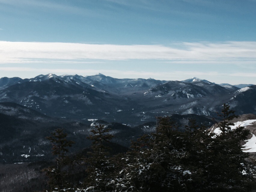
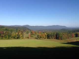
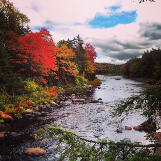
 In the 1820’s famous artists such as Thomas Cole were inspired to paint the peaks of Catskills. And finally, New York State is home to the Adirondacks, the country’s largest park and state protected land area in the contiguous United States, with 6.1 million acres of land. What New York lacks in vertical elevation it makes up for in unsurpassed beauty. All within a day’s drive from New York City the country’s largest with a population of 8.41 million people. 

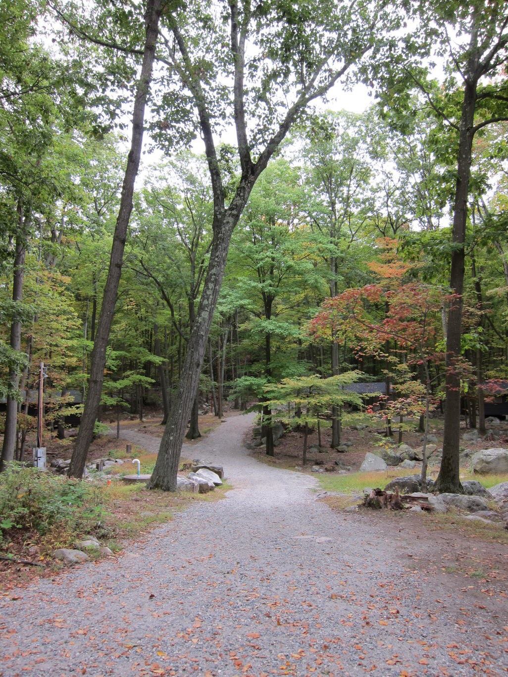
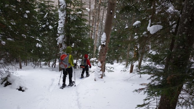
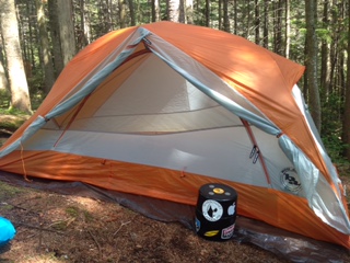
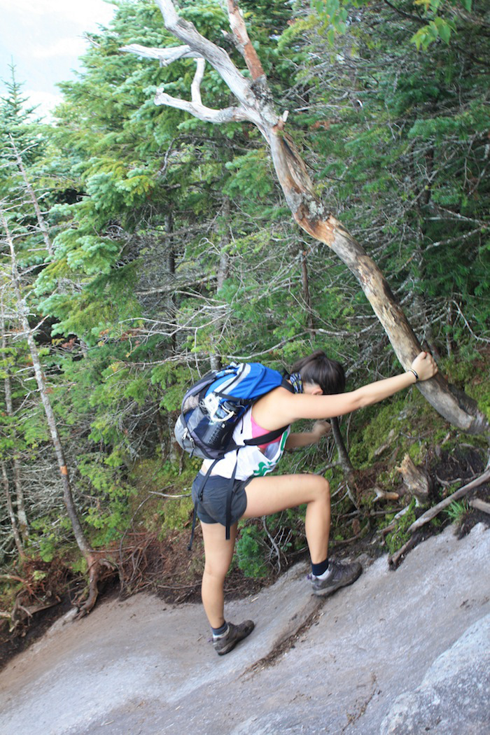
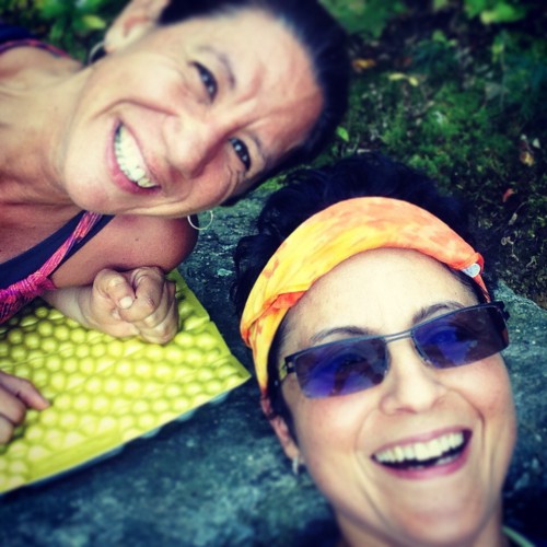
 Despite our wildernesses close proximity to such a large metropolitan area, the trails still offer plenty of solitude. I’ve put together a list of my 5 favorite backpacking trips. 


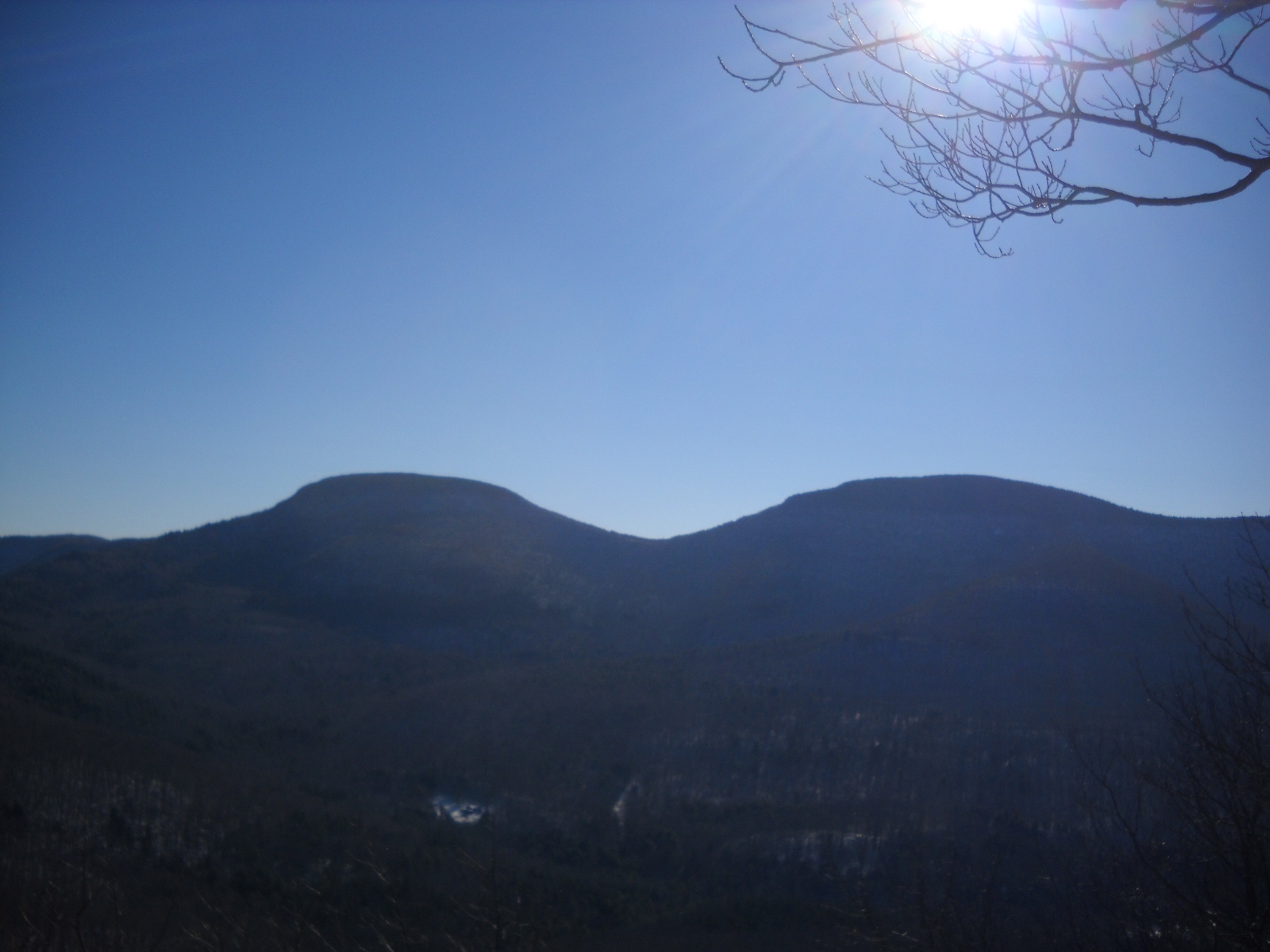
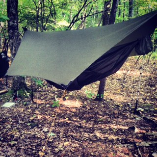
#5 The Blackhead Range, Catskills New York:
A fairly short but moderately strenuous two day backpack of approximately 17 miles in the northern Catskills, including four peaks over 3500 feet and lovely scenery from the northern ridge of the Escarpment Trail. Day one of this trip starts at the northern terminus of the Escarpment Trail just outside of East Windham, NY. The rocky path winds its way up through a Norwegian Pine forest and up the first of four Catskill high peaks, Windham Mountain (3524’). The descent down Windham offers some great views from Burnt Knob and Acra Point. Dropping down from the Escarpment Trail to the Batavia Kill Trail a lean-to/tent sites and water source makes for a nice place to rest up for the next day’s adventure. The second day starts out with a climb of 1,000 feet in nine tenths of a mile to the top of Blackhead Mountain (3940’) the fourth highest peak in the Catskills. After descending Blackhead Mountain Trail the hike now picks up the Black Dome Trail to go up and over Black Dome (3980’) as well as Thomas Cole Mountain (3940’). The final descent off the ridge line offer views of the valley and surrounding mountain ranges. 

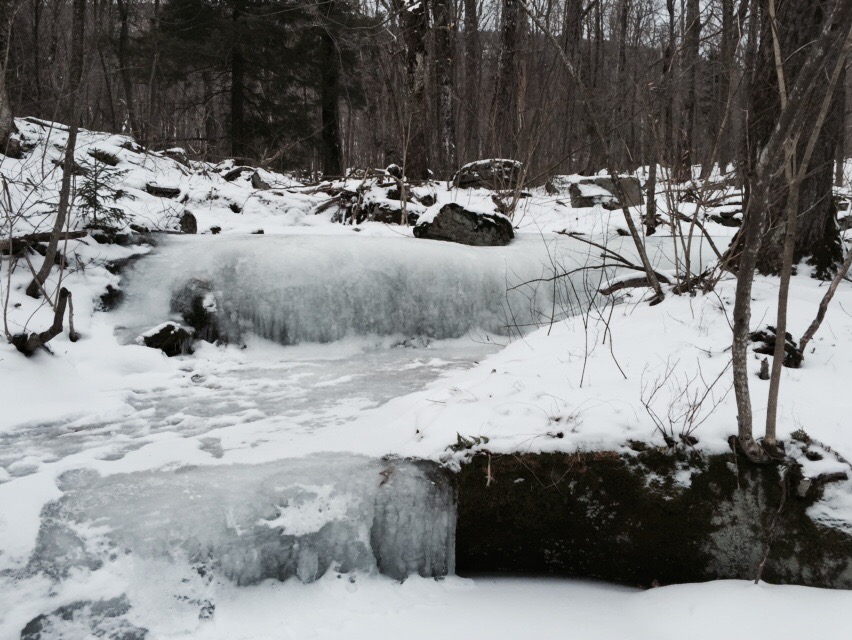
# 4 Pharaoh Lakes Wilderness Area, Eastern Adirondacks, NY: This area of the Adirondacks is a backpacker’s paradise, with its many lakes, ponds and miles of trails providing the opportunity for trips in a variety of lengths. This particular 3 day/2night backpacking trip will reach only one peak above 2000’ but the views of the many pristine lakes and ponds will more than make up for the lack of elevation. Day 1 follows the fairly easy terrain as it meanders through the heavily covered forest. After 2 miles the trail gets steeper and rockier until it reaches the top of Pharaoh Mountain (2551’). There are terrific views of the High Peaks in the distance from the rock ledges of the summit on the west side. The trail descends steeply at times and gives way to the beautiful shore line of Pharaoh Lake. There are six lean- to’s along the lake but my preferred camp is a legal spot right near the outlet of the lake called Winter Green Point. This fairly secluded location offers some solitude, gorgeous sunset views with the call of Loons into the night. On day 2, I continue my walk along Pharaoh Lake and the other small ponds, Grizzle Ocean and Clear Ponds and along the way choose a tent site near the Treadway Mountain Trail and set up a base camp before taking an afternoon hike up Treadway Mountain. The 4 mile round trip starts out in the forest and ends on top of a rocky summit offering views of Pharaoh Mountain and the High Peaks. After returning to my campsite and a good night’s rest the last day is spent hiking along the forested trails , taking frequent breaks at the small ponds and breathing in the last bit of serenity of this wilderness area. 

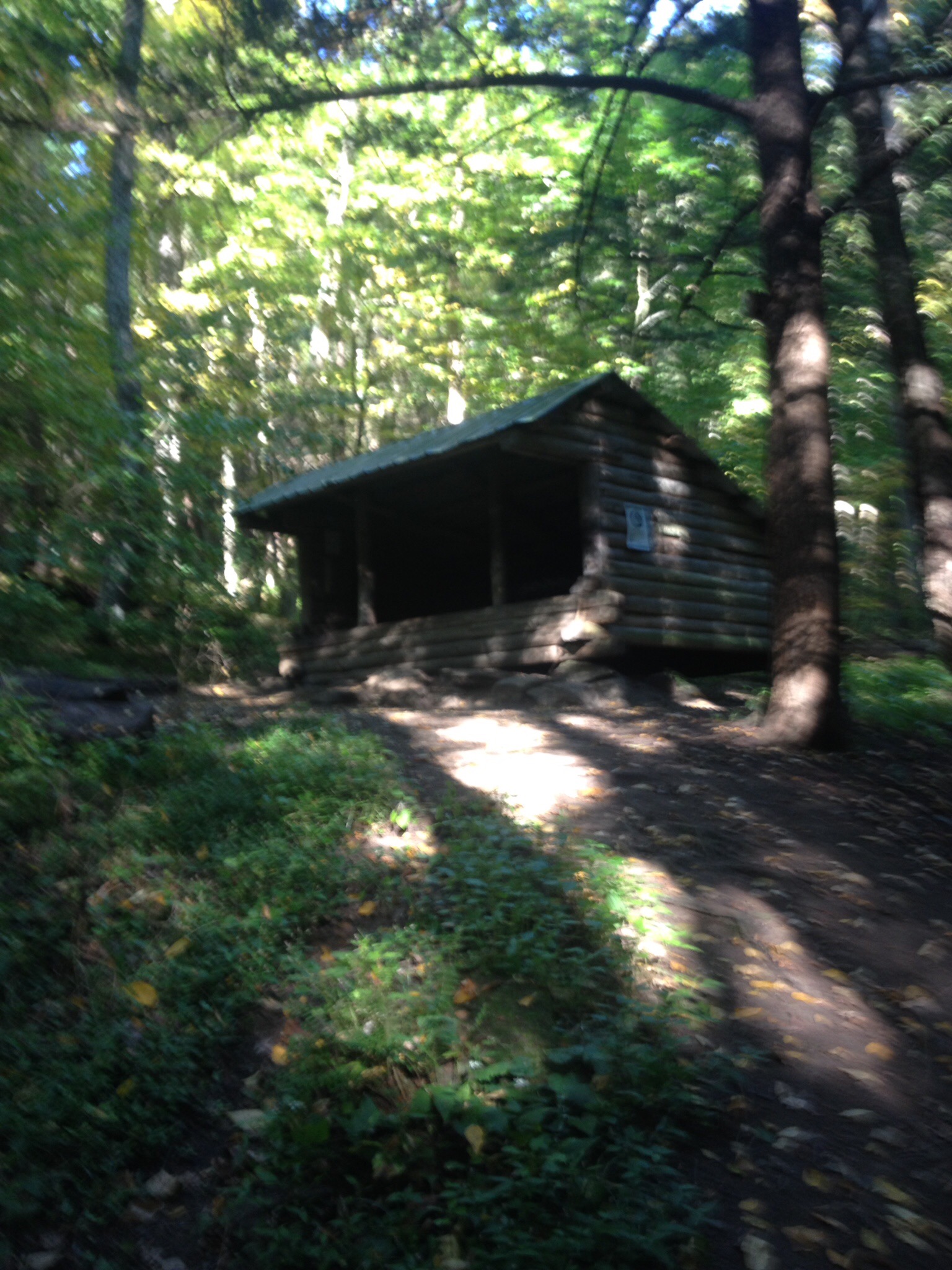
#3 The Rampo-Dunderberg Tail, Harriman State Park, NY: Built in the 1920’s by New York Hiking Clubs this is the oldest trail in the park. The 21.05 mile trail runs through Harriman State Park from Tuxedo to Jones Point, NY. The red-dot on white trail starts near the Tuxedo Station Parking area and continues through a residential neighborhood before the actual wooded trail begins. Slowly the switch backing trails go up giving way to a steeper climbing up Pine Hill. Continuing along it is important to stay alert to the trail markers, on this trail like many others in Harriman; you will pass by dozens of trail intersections. The trail continues to climb and descend before reaching the infamous Times Square intersection. Okay, it’s nothing like 42nd street in Manhattan but it is a big rock that says Times Square! In another 4 miles there is the William Brien Shelter, which I wouldn’t recommend staying in but the area around the shelter has quite a few tent sites. And with a fairly reliable water source only a short walk away it makes for a great place to rest up for the long 12 miles to the end of the trail. The second days walk just never seems to end and goes something like this up one side of a hill, down the other, cross a road and back up another hill! Thankfully, most of the day there are lovely views of the surrounding area and make it all worth it. The trail drops steeply down to 9W at 21 miles with a short walk to a large parking area where I usually spot a car. This overnight backpacking trip is not to be underestimated! It will leave your quads screaming and dogs barking for sure. 

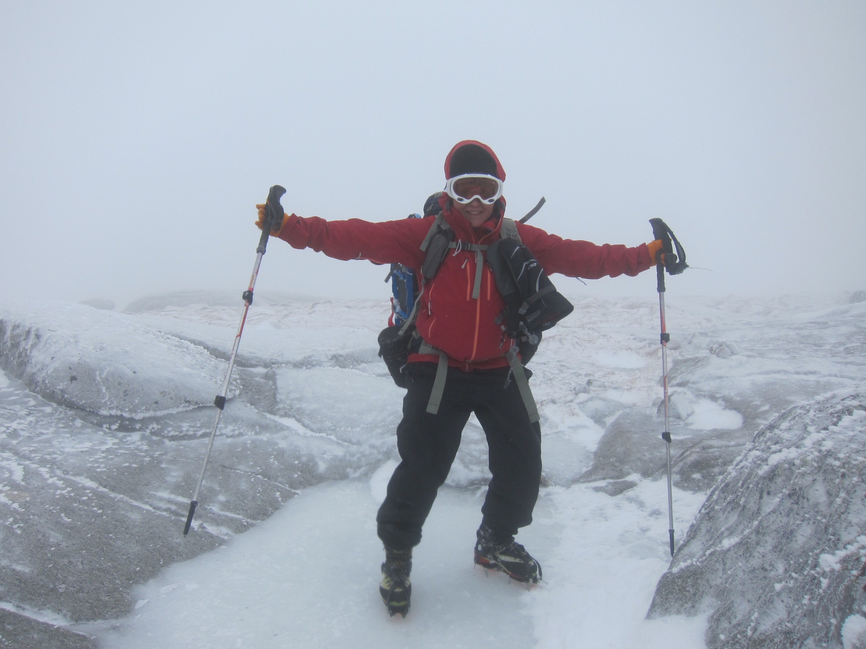
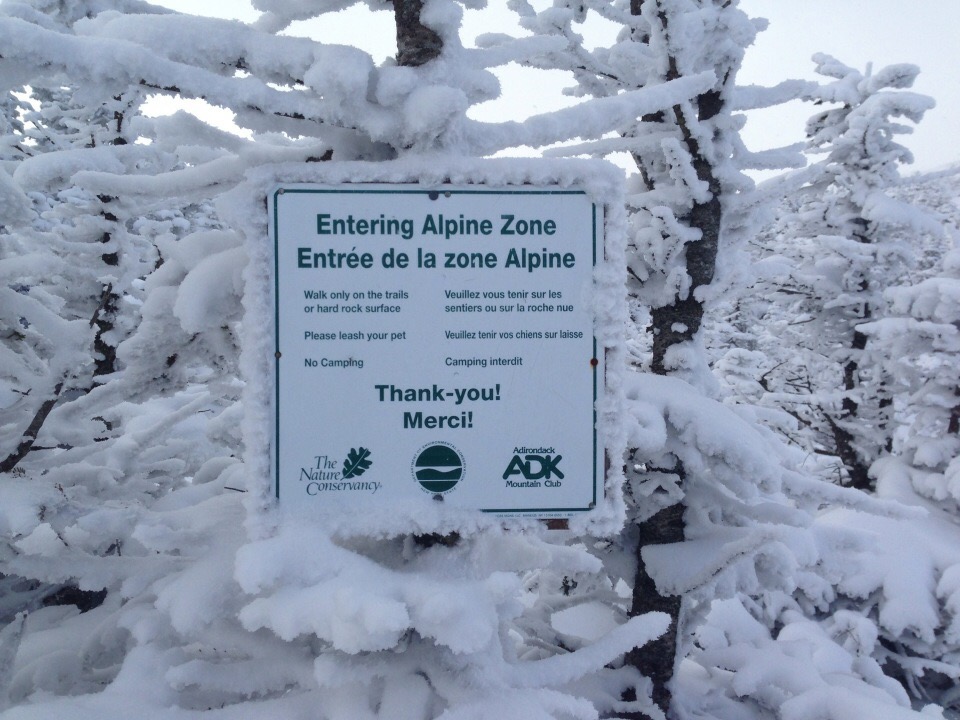
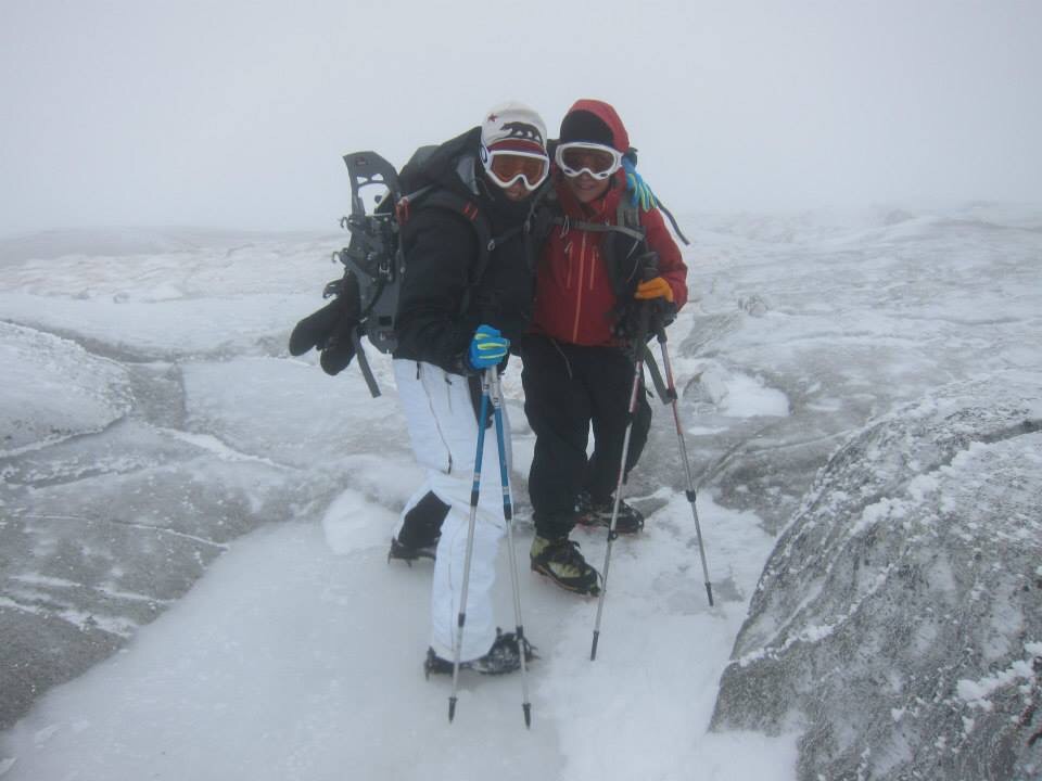
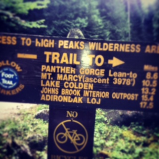
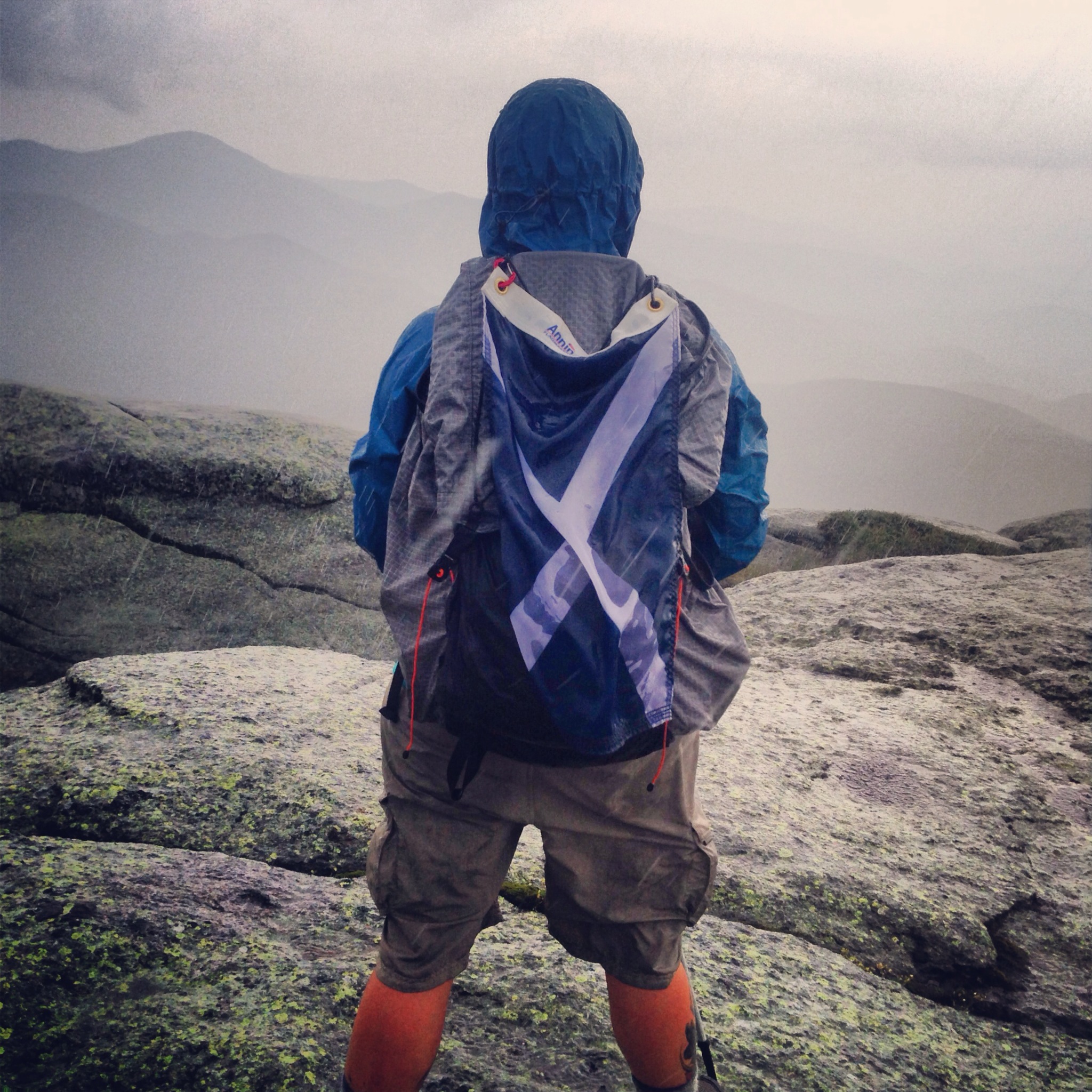
 #2 Panthers Gorge, Adirondacks, NY: Using this area as a base camp to tag Haystack (4960’), Marcy (5344’)and Skylight (4924’) is ideal and the bonus of the gorge to swim in on a hot summer’s day. Following the well-marked, Elk Lake Marcy Trail for 9 miles to the Panther Gorge Lean to is a fairly easy but muddy hike. I usually spend day one hiking into camp and spend the next day tagging the high peaks. My usual route in good weather is up the climb up Haystack (4960’), a very steep, rock scrambling experience. The description from the guide book describes the climb up Haystack as “one of the steepest climbs in the mountains up the south side of the peak. It is unremittingly steep with numerous small ledges posing danger of a serious fall. The trail is quite eroded in spots and offers no respite to timberline”. It may be tough but the climb up Haystack is work the incredible views of the Adirondack range and a great place to take a few minutes to rest up for the next climb up Mount Marcy (5344’).The trail along the ridge from Haystack goes over Little Haystack and down a few hundred feet to start the ascent up Mt. Marcy via the Hovenberg Trail following cairns along the slabs of open rock to the summit. In good weather the summit of Marcy is a wonderful place to linger and soak in the views of the Great Range. With the hardest part of the day hike done the descent down Marcy goes quickly and soon returns to below tree line and before long reaching outlet of Lake Tear of the Clouds, the highest pond source of the Hudson River. Just after this is the Four Corners Junction which joins the red trail to Mt. Skylight (4926’) and a quick 1 mile round trip to tag yet another high peak and back to Marcy-Elk Lake Trail back to the campsite. This 1.2 mile rocky trail is quite eroded in spots and requires careful attention to footing, especially after hard rain, becoming more like a river. Finally reaching the Panther Gorge crossing and back to a well-deserved evening at the campsite before hiking the 9 miles back to my car at the Elk Lake Parking area in the morning. 

#1 Devils Path, Catskills, NY: This trip follows the Devil’s Path over what Backpacker Magazine says is “the most challenging trail in the Northeast” with a reported 14,000’ of elevation change over 23.1 miles. My preferred route for this hike is from East to West over 3 days/2 nights. Beginning on Prediger Road near the Town of Hunter the red blazes don’t waste any time following the steep trail up Sherman’s Lookout, known as the chin of the Indian, and the summit of Indian Head Mountain (3573’). Like many parts of the Devil’s Path the trail up Indian Head is extremely steep something I really never get used to but come to expect on this particular trail. The trail then descends into Jimmy Dolan’s Notch, the highest col on the trail at 3,200 ft, before the rock scramble up Twin Mountain (3640’). The view off the southern summit of Twin has incredible views of Slide Mountain and all the other major peaks in the Catskill Range. After scrambling over the next high peak, Sugarloaf Mountain (3800’) the trail drops steeply down a rock chute nick named “Suicide Mountain”; this is considered one of the most challenging descents on the entire Devil’s Path. From here the end of day one is in sight and I get on the Mink Hollow Trail where a lean to, reliable water source and tent sites provide a nice place to rest up for the challenging day ahead. Day two begins with a…you guessed it! A steep and rocky climb up Plateau Mountain (3840’), a viewless summit but a nice flat walk through a boreal forest. Further along the trail, Danny’s Lookout gives way to views of Hunter, Southwest Hunter and West Kill Mountain. From here the trail goes descends to Route 214, the trails only road crossing, which is about the half-way point of the Devil’s Path. There is an area with picnic tables, a water spigot and a great place to stop for lunch before the next steep climb up past the large stone outcrops known as the Devils Portal. The forested trail on the western section of the Devil’s Path goes by the Devil’s Acre lean to where I usually pick up more water before pressing on to my next camp site, Diamond Notch Falls. There is a nice lean to up off the blue-blazed Diamond Notch Trail but further along the path is a lovely secluded tent site with good tree cover. Water? No problem! A nice late afternoon stroll down to the roaring Diamond Notch Falls provides much need drinking water and a great swimming hole. Day three gets easier after the long slog of a climb up West Kill Mountain (3880’), the sixth highest peak in the Catskills and the only high peak in this section of the Devil’s Path. The summit of West Kill has no views but just before the official summit is Buck Ridge Lookout with views of Hunter and Southwest Hunter, Slide and Peekamoose Mountains. The Devil’s Path descends gradually over the next two miles before the last rocky chute up St. Anne’s Peak. Only a short climb but by this point in the trip my legs are revolting against me! Luckily soon after, the trail switchbacks down through a nice forested trail and to the spotted car on Spruceton Road where I usually say to myself “I think it’s the last time I’m doing this trail” only to return the next summer to what has become my favorite backpacking trip in my New York. 

Harriman Outdoor Center…a first look 

The road leading up to Harriman Camp


While I’m a backpacker by nature over the long Columbus Day Weekend me and my partner, Irish, took part in co-hosting a weekend event at the Appalachian Mountain Club’s (AMC) newly acquired Harriman Outdoor Center (HOC) in Haverstraw, New York. The former youth camp built in the late 1920’s was recently leased out by the AMC and renovated in a spectacular fashion.

Storm King 2 Cabin


There are 8 beautiful cabins, ranging in capacity of 4 -16 people with bunk style rooms with common areas decked out with comfy futons, 12 new tent platforms as well 5 newly renovated lean-to’s with fire rings, outdoor grills and bear boxes. All this within walking distance to flush toilets, hot showers and dining hall which offers hot breakfasts, trail lunches and dinners (additional cost for food). And if all that weren’t enough the camp offers free canoe and kayaks to take out on 64 acre Breakneck Pond.

Kayak launch site along Breakneck Pond

This weekend our group was staying at the Storm King Lodge 2, a newly renovated rustic cabin with 4 rooms and a common area along with 2 small refrigerators and plenty of electric outlets to charge up the phones.  In back of the cabin is a fire ring and picnic table. Out front is a large covered pavilion with quite a few picnic tables and a large charcoal grill. Some of the people in our group had a cook out one night with food they brought from home, others opted for the meal plan available through the dining hall for an additional cost. And then there’s the other option – go to nearby Sloatsburg and eat at Rhodes North Tavern or one of the other local eateries, which is what Irish and I decided to do. If you have never been to Rhodes North Tavern near Harriman State Park you should check it out. The food is fresh and the service is always excellent!

Trail marker for the White Bar Trail

While the amenities are nice, even nicer is the fact that the HOC is a perfect base for exploring the hundreds of trails in the 46,000 – acre Harriman State Park. On Saturday our group took a hike starting from the Johnstontown Road parking area on the White Bar trail. We hiked along the rocky but fairly flat trail past the Dutch Doctor Shelter, where we stopped for a quick snack break before continuing on the yellow Triangle Trail and through the tunnel of Mountain Laurel which was not in bloom but still wonderful to walk through. Further along the trail a more deciduous forest began to show the change colors but definitely not at peak levels just yet. After a beautiful few hours of hiking through the trails we looped back to our car in the parking area and headed back to the HOC by late afternoon for a much need stretch session with our instructor Irish, right on the dock at Breakneck Pond. Then it was off to enjoy the hot showers before social hour and dinner. Truly a great day!

Irish taking us a through a great post hike stretch routine along Breakneck Pond

Sunday was a free day for all of us, there were no scheduled group activities which was great because Irish and I had a plan. In keeping with my half marathon training plan, I was scheduled to run a 10k race. Good thing about running…there’s always a race somewhere and Irish found ours in Fishkill! A great charity run for Multiple Sclerosis in a cemetery which was very SPOOKY…just in time for Halloween. So in the cold damp rain we drove country roads to get to Fishkill and our cemetery race. Irish signed up for the one mile fun walk and came in first! I signed up for the 10k and did not come in first!


Pulling a pulk in the Adirondacks…the last big winter trip of 2015

This past weekend I led a group of Appalachian Mountain Club (AMC) backpackers into the Marcy Dam area 3 day/2 night winter base camp high peaks adventure.

Usually I carry my large winter backpack, Gregory Diva 85 but this weekend I traded that in for a pulk…yes a pulk! Which is pretty much a sled attached to poles that clips onto a harness worn on your waist. 


 A trail buddy of mine, “Nails” had been talking this whole pulling a pulk thing up for sometime and when we were discussing my upcoming Daks trip, I decided to give it a try. 

Why this trip?

A few reasons: First, this trip is a basecamp, meaning that we will hike in to a designated campsite and go hiking from there each day, hopefully tagging some high peaks. Secondly, the trail leading to our base camp is approximately 2.5 miles of fairly wide level trail and lastly…it’s much more comfortable to pull a pulk with 30-35lbs of winter gear than it is to carry it on your back. 


the high peaks weather forecast for friday


 At the start of our trip I was a little concerned. The temperature was minus 12 and the wind was probably 20-30 mph. It was COLD! I had some thoughts of calling the trip as I was driving to meet the rest of the group on Friday morning. I had been watching the higher summit forecast for the area like a hawk all week. We would be down in the low lands but the temperature was still projected to be as low as 40 degrees below zero. Game time decisions would have to be made about what peaks to hike but my intended plan was to hike Phelps (4161′)the first day, Colden (4715′)the second day and tag Tabletop (4427′) on a quick day hike on the third day.
I attached my sled to my waist of my osprey day pack and easily glided my sled the 2.5 miles to the Marcy dam area where we set our base camp.


home sweet home. no heat but plenty of fresh air!


 The wind died down by the time our group set up camp and geared up to climb Phelps. The trail to Phelps was nicely broken out and snowshoeing was a pleasure. We hit the turn off to head the mile up to the summit and up, up and away we went. The view was spectacular and we hung out there and soaked it in for a while before heading back to camp. 


 Our group of seven hung out in the lean to and melted snow for water for a couple of hours. I was in my tent by 7pm and snoozing shortly after…winter is my time to catch up on sleep. I never sleep for more than 6-8 hours at home so getting 12 hours in my sleeping bag is just fine with me. 

 The next morning the weather had turned very very windy. Even down at our lower elevation the wind was blowing 30 mph. I really wanted to go with the plan to hike the 8 plus miles round trip to Mt. Colden but the climb to the top of Colden is exposed and steep  and would not be easy in very high winds and blowing snow. We discussed it as a group and decided that hiking to Tabletop would be a better call but three of the guys decided it was even too cold and windy to do that so they decided to hike up Mount Joe. 


The other four of us set off to Tabletop around 9am. Along the way lots of hikers and skiers were on the trails too. Quite a few hikers were headed up to Marcy which was interesting to me because if the wind was 30 mph at 2000 feet I can’t imagine what it’s going to be like on top of the highest peak in the range! Then I began to question my decision to call off going to Colden. Did I wimp out? Was I being too cautious? I’m not one to be scared by weather but I was not feeling anywhere near 100% – I had been plagued with a bad head cold all week and while I felt well enough to hike I just didn’t think pushing myself physically would be smart. If the hike to Colden went perfectly I would probably be fine but if something went wrong, if one of our hikers suffered an injury or the weather conditions deteriorated any further I might be a hinderence. As a trip leader that’s never a good scenario – so to Tabletop we hiked. 


hiking up the trail to tabletop


The route up tabletop is very protected from the beastly wind and we had a lovely climb up to the top. Just enough of an opening at the summit to see Mt. Marcy across the way and take in views without being blown over. 


lookking at Mt. Marcy from summit of Tabletop Mtn


We headed back to camp early and I retreated to my tent to get some rest, I was definitely feeling worse. After an hour or so I psyched myself up to get back out of the tent and start melting snow for some much needed water. The wind was now blowing snow and gusting up to 35 mph. Usually, melting snow in the lean to protects me from the weather but the wind was blowing the snow right in the front of lean to. Soon I melted enough snow to rehydrate my dinner and made a hot beverage to take back to my tent. I was really glad to get back in my sleeping bag. I was even more grateful that I had downloaded one of my favorite t.v shows, Suits, to my smartphone to keep myself entertained for a while before I could take my dose of NyQuil and get some much needed sleep. 


larry, all smiles …the wind is gone!


The next morning I awoke to the sound of…NO WIND! I stuck my head out of my tent at 7am and the sky was blue and the sun shining bright! A perfect day to hike but everyone had had enough and wanted to hike out and go home. So I packed up my stuff, put it in the pulk and pulled it home! 

My thoughts on pulling a pulk…it is the way to go! I didn’t even notice I was pulling any weight until the up hills and even the  it was much easier than having the weight on my back. 

One of the big benefits to the pulk is not having to be so mindful of the weight of each item. This trip I was able to bring my alite camp chair, an extra down jacket and my BD shovel. My total weight was probably almost 40lbs with food, fuel and water. My winter backpack weight is usually 30-32 lbs and if feels much heavier! While pulling a pulk isn’t practical in every winter backpacking scenario I think there are a fair amount of winter routes that I could use this on in the future. 

When u got home, I called my buddy “Nails” and told him all about my love for the pulk. Needless to say he is making me one of my very own for next winter! So there will be more pulk pulling adventures next winter but for now I look forward to more spring like weather and getting back to my light weight backpacking kit! 


On top of the world…

2015/01/img_2644.jpg

Okay may be not but that is me on top of Algonquin (5,114ft) last weekend. The 3000 foot ascent in 4.3 miles makes it a tough but doable climb. The last .7 of a mile seems to go straight up until you get to tree line. Then it’s rocks, rocks, rocks…and they are covered in ice, ice, ice.

On Sunday I led a group of hikers up to the top of Algonquin via the Van Hovenberg trail (blue blaze) and Algonquin Peak Trail (yellow blaze). Our group of 8 hikers were chomping at the bid to get on the trail and make it to the top of New York’s second highest peak. While we were all hopeful to reach the top we were also realistic to know that the mountains make their own weather. And today’s high peaks weather forecast was looking a little iffy.

The latest weather prediction provided by the High Peaks Information Center (HPIC) was calling for 40-50 mph winds with 90% of the mountain socked in by clouds. The good news was that the rain was supposed to hold off until 3pm. The temperature was in the low 30’s but when the wind picked up, it felt a lot colder, even below tree line.

We started down the trail around 9am hiking in Microspikes then changing to snowshoes about a mile in due to the fluffier deeper snow. The trail runs through the high peaks wilderness area and a lovely forest lined trail protected us from the wind.

There aren’t too many views in the first 2 or 3 miles except for some nice frozen water falls occasionally. Luckily we could hike around the first two small water falls in our snowshoes. The last wall of ice required is to change into our crampons.

2015/01/img_2637.jpg
From here the trail gets very steep. At the 2.4 mile mark we passed the junction to turn up Wright Peak. This was on our list to do but we heard from another hiker coming down that the wind was “scary”. This is pretty typical of Wright, it’s often said to be one of the windiest non-high peak summits for some reason. ADK guidebook mentions the “scary” wind in its description.
Our group took a quick vote and decided to just head up Algonquin and leave Wright Peak for another day. Up, up and away we went, nearly vertical on the hard snow packed trail with our crampons. I could feel my heart pumping hard as I slowly continued up the trail. Step, step…rest. Step, step…rest. My leg quadriceps and gluts were beginning to get fatigued and using the “rest step” during this climbed saved me.

Soon our group of 8 turned to 5 as we had three hikers that needed to go slower up the final push to Algonquin’s summit. My 5 hikers arrived at the edge of the Arctic zone and got our summit gear ready. Hood up, goggles on, crampons adjusted… And away we go!

2015/01/img_2619.jpg
The climb onto the ice covered boulders on the top seemed to be easier walking then the near vertical climbing up to tree line. However, more careful stepping was necessary due to the very icy conditions which made us have to really dig our crampons on each step. Couple careful foot placement with poor visibility and increasing wind made it hard to follow the trail in some spots. Usually a hiker follows blazes painted on rocks or tree to lead the way. On the tops of bald summits there are rock cairns, essentially large piles of rocks every so often that guide you along.
When we finally hit the summit the wind picked up quite a bit. It was hard to stand upright without digging into the ice and bracing against the wind. We snapped a few quick pictures and prepared to hike back down the way we came.

2015/01/img_2646-0.jpg

Going back down the icy summit is quite taxing on the leg muscles. It’s like doing hundreds of lunges…only on ice! Digging in each crampon and feeling secure enough to move my other foot to take a step. Finally reaching tree line we all tucked in out of the wind and had a much needed snack to fuel is up for the 4.3 mile walk back to the cars.

2015/01/img_2643.jpg

Hi Ho Hi Ho…it’s off to Hurricane we go!

<a href="https://hilltackler.files.wordpress.com/2015/01/img_2636.jpg”>2015/01/img_2636.jpg

On Saturday morning I hiked Hurricane Mountain (3964ft) with a group from AMC’s MLK weekend in the Adirondacks. This is 5.0 mile out and back hike with 2000 feet of elevation gain via the red blazed trail off route 9N in Keene, New York. Hurricane Mountain is not a “high peak” but it offers 360 degree views from the top making it well worth the 2.5 mile hike up.

Getting started is always the coldest part of a hike like this, leaving the heated car and getting snowshoes affixed correctly with my liner gloves still on is always slow going this early In the winter hiking season.

The starting temperature minus 4 degrees and sunny. Once on the trail I got warmed up quickly but not enough to really take too many layers off. The trail went through some nice forested areas covered in the beautiful snow. The hike started out with a gradual ascent and soon got much steeper towards the summit.

2015/01/img_2631-1.jpg

I took my snowshoes off and bear booted it up to the bald summit. After a few minutes admiring the great views and photo ops I headed back down and strapped on my snowshoes and headed back down the trail. Going down is always pleasant after climbing for a few hours but soon becomes exhausting in its own special way.

After finishing the hike myself and some other hikers in the group grabbed lunch at the Noon-Mark diner in Keene. And no hiking outing in Keene is complete without stopping by the local gear shop, the Mountaineer!

2015/01/img_2629.jpg

With day one of MLK weekend in the books I headed back to the ADK Trail Inn and got cleaned up for dinner with the other 30 hikers in our group at the ADK Cafe in town. We all sat around the table and talked about our hikes, adventures and mishaps on the trail over good food.

2015/01/img_2639.jpg

Hilltackler goes to Lake Placid…ice climbing, hiking, x-c skiing, oh my?!?!

2015/01/img_2621.jpg
This weekend I am heading up north to Lake Placid, New York. This is the epicenter of all things outdoors in any season but is especially beautiful in the winter. And it’s host to many outdoor club weekends during the observance of the Martin Luther King (MLK) Holiday.

For many years the New York/New Jersey backpacking committee of the Appalachian Mountain Club (AMC) has been hosting this “winter training” weekend using a lodge as a base camp. Each day instructional hikes and ski trips of all levels are offered to participants. There is something for everyone from the first time winter hiker to the more seasoned veterans that want to grab a few high peaks. All the hikes and ski trips are led by leaders for our chapter.

On Sunday, I will be leading a day hike to Wright (4,587 ft) and Algonquin (5,115 ft)…hopefully! I say that because these peaks, as many of the high peaks in winter, are notorious for 50 mph winds, white out conditions as well as rapidly changing weather patterns. It’s definitely not for the faint of heart. This will be a 9 mile round trip day hike.

2015/01/img_2620.jpg

But before Sunday comes Saturday and I’ll be doing something I have never done before…ice climbing! A bunch of us are using a guide from a local outfitter for the day to take us climbing. I’ve rock climbed before both in and outdoors many years ago. I liked it but never really stuck with it…it involves a lot of standing around while you belay other climbers and wait your turn but ice climbing, now that is going to be exciting. Kicking my crampons into ice and slamming my ice axes into the frozen wall of ice. Now that’s fun!

2015/01/img_2553.jpg

On my last day in the Adirondacks I plan to do my newest sport, cross country skiing. Prior to last year I was never a skier. While I am a speed freak and like adventure I’ve never liked down hill skiing that much. And starting as an adult is never easy…more aging fragile body parts to preserve! So taking up this cross country thing has been a fun adventure. It’s a great full body workout, I get to be on the trail all day and I’m hoping to get good enough to take on the hut to hut circuit they have in Maine. So I better keep practicing.

First winter backpacking trip of 2015…get your gear on!

hilltackler.files.wordpress.com/2015/01/img_2599-0.jpg”>2015/01/img_2599-0.jpg
This weekend I led a beginner winter backpacking trip for the Appalachian Mountain Club (AMC) to the Catskills. This is the second year I’ve led this particular trip and I like it because it’s a perfect trip to introduce experienced 3 season backpackers to winter.

Many hikers and backpackers think “oh winter, it’s like summer only colder” NOT! The winter presents an interesting situation in balancing staying warm but dry while sweating profusely. Hiking with winter boots, snowshoes or crampons with a 30lb backpack full of gear and I sweat just thinking about it!

2015/01/img_2600.jpg
This trip has some safety nets built into it. We start out at the parking area at the end of Big Hollow Road and hike 1.25 miles with our fully loaded winter packs to the Bativa Kill Lean to area. We set up our tents and off load some gear and head off to hike over Acra point and Burnt Knob, approximately 7 miles round trip.

2015/01/img_2593.jpg
The group was small this weekend so we were able to move swiftly and stop at the many view points off the Escarpment Trail. Our first nice view was at Acra point. The day was very cold and clear giving us nice views, of the valley below.

Continuing on the trail towards Burnt Knob there were some short climbs before getting to the view off Burnt Knob at 3.5 miles. Along the way we were treated to some nice views of the Blackhead Range.

2015/01/img_2598.jpg
We headed back the way we came along the Escarpment Trail. The 3.5 mile walk back was uneventful. Our group was hiking well together and we all snacked and hydrated along the way. The temperatures felt like they were in the single digits and stopping for more than a few minutes would have been unpleasantly cold. Arriving at camp with our tents all set up gave us some time to gather some firewood for the evening. There were plenty of downed branches to give us a nice fire for a few hours while giving off precious heat. It was shaping up to be a cold cold night. At 5pm the temperature was at zero degrees.

2015/01/img_2617.jpg
After having dinner and lots of laughs I was in my sleeping bag by 6:30. Seems like an early bed time but For me winter camping equals – catching up on sleep! I don’t generally sleep the entire time. I may even wake up for an hour or so in the night but I usually just listen to some music or on this trip chat it up with my tent mate, Mo, trail name Irish.

2015/01/img_2589.jpg
Irish was waking me up periodically to make sure I wasn’t concussed. Earlier in the evening while hanging up the food, on the bear rope, the branch I was hoisting our line up broke from the tree and hit me right on the head. I was fine just more in disbelief that this fairly substantial tree branch broke off. From my vanish point it didn’t appear to be dead wood but in any case the branch was not to hold our food for the night. Not really a huge deal to sleep with food in winter. The bears are asleep however other vermin have been known to chew through a backpack or tent to get some free food. Luckily there weren’t any visitors through the night. Food secure and definitively…FROZEN!
The plan for Sunday was to get up at day break and hike up Black Dome and Thomas Cole. But that never materialized one guy had a very sore neck, one guy had to get back home and Irish, well she had a rough night…she’s discovered that the zero degree temperatures exceeded her comfort level. Enjoying the winter hiking and landscape but realizing that her threshold for winter camping may be closer to 20 degrees. As we hiked out early to the parking area we talked about her coldest night ever in the woods. And what she said summed it up pretty well “even the simplest tasks become difficult when it’s this cold”

2015/01/img_2594.jpg

Adirondack’s Panther Gorge Trip Report…a river runs through it!

big bear warning sign

In early August I led a backpacking trip for the NY/NJ Backpacking Chapter of the Appalachian Mountain Club (AMC) to the Adirondacks.  The plan for this trip was to leave our cars at the Elk Lake Parking area and hike 9 miles on the Elk Lake Marcy Trail. Set up base camp and on day 2 hike up Haystack (4960′), Little Haystack , Mt Marcy (5344′) and Skylight (4924′) and on day 3 hike the 9 miles back to our cars.  This is a very enjoyable trip. Other popular routes to Mount Marcy such as the VanHovenberg Trail can get crowded, especially in summer, going this route gives our group some solitude.

panther gorge trail head

The hike up to the Panther Gorge Lean-to is fairly straight forward and the easiest part of the whole weekend. The nine mile trek on the Elk Lake-Marcy Trail is well marked, fairly easy walking with some boggy areas and plenty of creek crossings. The water levels of the small streams and boggy areas weren’t too bad. The Adirondack trails are known for their MUD and as always I got knee deep! Never fails. As I was merrily walking along the trail I took a step and my right leg sunk into the MUD up to my knee. Thankfully, Stretch, my co-leader was there to witness this comedic event and after we both stopped laughing I took my pack off, broke free of the suction hungry MUD and pulled my foot out. And it always makes for a good picture!

Adirondack MUD

Adirondack MUD

Our group arrived to the Panther Gorge, around 3pm,  area hoping to set up and enjoy the solitude…well, maybe not! We arrived to tent city! The area was packed with tents and the lean to was filled to capacity.  We set up our tents and, hoped to get settled in and go down to the lovely gorge and relax before dinner.  And then the rains came! When you thought it was raining hard, it started to rain even harder, you could barely hear yourself talk over the sound of the loud gushing water flowing in Panther Gorge below us.

Stretch in the rain with her spork

Stretch in the rain with her spork

We donned our rain gear and began to prepare dinner.  On this and my other summer trips I use Esbit tabs with my Caldera Cone set up. It’s incredibly light and efficient at boiling 2 cups of water in less than 12 minutes. Well, except when it’s pouring and as you’re lighting your Esbit tab it gets too wet to catch fire. That’s a first for me, usually I just hit the tab with a storm proof and BAM!  But not in this downpour! So I took to the vestibule of my tent and tried again with a dry Esbit tab and a wallah! Stretch took to waiting outside my tent for me to boil her water too so she could eventually retreat to her tent and get dry once and for all.

Big Agnes UL1 Copper Spur

Big Agnes UL1 Copper Spur

Sunday morning we got up to bright sunny skies but I knew it was going to be short lived.  I  had paid special attention to the weather forecast before this trip because we would be hiking above tree line quite a bit. Bagging some high peaks is always the goal but safety is first and foremost. Prior to the trip I had  put out some inquiries, on the ADK high peaks forum, for good alternate below tree line hikes if the weather turned for the worst. But according to all the forecasts of the high peaks, there was a 30% chance of showers and thunderstorms were to hold off until after 2 or 3pm. So I made the decision to go ahead with the original itinerary.

Route to Haystack, Little Haystack and Skylight Mtns

Route to Haystack, Little Haystack and Skylight Mtns

We got a fairly early start and headed up the trail to Haystack Mountain. It is described in the guidebook as  “one of the steepest climbs in the mountains up the south side of the peak. It is unremittingly steep with numerous small ledges posing danger of a serious fall.  The trail is quite eroded in spots and offers no respite to timberline.” It is also recommended that backpackers not to attempt this route with full packs due to the amount of rock scrambling. But it makes a perfect loop to grab some of the highest peaks in New York State and get back to camp in a day hike, which is very sweet!

This is how you get up Haystack!

This is how you get up Haystack!

The 2.2 mile climb up Haystack was slower than usual because the torrential rain from the previous nights storm. The large slabs of rock were slick and like a water fall in some places. This part of the day was definitely physically as well as mentally challenging.  But we all made it in one piece and were treated to lovely views on top of Haystack.

haystack top of mtn

Hilltackler on Haystack

Hilltackler on Haystack

After taking in the views and taking a well deserved snack break at the top of Haystack we shouldered our packs and continued over Little Haystack. It was about 11 am and the clouds were rolling quickly across the sky. One minute you would look across the ridge and see Mt Marcy very clearly and a few minutes later she would be covered in large ominous clouds. It began to drizzle as we passed over Little Haystack and descended the State Range Trail before heading back up the Phelps Trail to Mt Marcy. The Phelps Trail climbs steeply for .7 miles and intersects with the Van Hovenberg Trail. We are now entering into the Alpine zone.

Entering the Alpine Zone

Entering the Alpine Zone

From here the trail is all open rock to the summit but not so steep, thankfully because the wind and rain really started blowing so we carefully followed the trail blazes painted on the slabs of rock and cairns to the top.  The Summit Steward greeted us with a big smile in her blue poncho. She was as happy as clam to be up on top of Mt. Marcy even in the rain and wind. She said the Summit Stewards are out most days unless there is lightening. We thanked her for her service and pushed on over the summit as quickly as possible as thunder clapped in the distance.

The view from Marcy in the rain

The view from Marcy in the rain

The trail leading off the summit of Mt. Marcy is not overly steep but it is exposed rock and it was becoming quite slick. I took to butt sliding in places. I think my nerves were shot as it started to thunder along with the blowing rain and looking over the side well it just goes – down! Finally the trail started to give me some traction as it descended below tree line but then it was just like a river. All the water was just rushing down the trail. I was certainly glad to be wearing trail runners because the water just comes out the mesh so you’re wet but at least you’re not sloshing around in it.

Finally arriving at the Four Corners, it was decision time to – bag Mt. Skylight or just continue on the 1.2 miles back to camp. We all agreed the weather was getting worse and headed down the Elk Lake -Marcy trail or should I say RIVER – the whole trail was over taken by water! It was ankle deep and sometimes more and It took careful footing. Even when  the trail is dry it is  quite eroded and rooty, add in 6-8 inches of flowing water and you can easily loose your footing and get hurt. This is one of the reasons why I always use hiking poles. They provide extra support and balance in tricky footing. Never leave home without’em!

Finally back at the gorge by 3:30pm our last water crossing was Panther Gorge. It is a tricky rock hop to get across the gorge and I was DONE concentrating on my foot placement so I just unbuckled my pack, in case I got swept away by the quick moving water, and walked through the knee deep gorge to get the other side. As we each made it across the gorge we would turn around and hoot and holler the next person as they made their way across. We had just completed a tough 7 mile hike with quite a bit of elevation gain and loss in very difficult conditions and I think we all felt like we really accomplished something! Conditions like this either rip a group apart or bring them closer together and I think it brought our group closer.

Exhausted but fulfilled I made my way back to my tent and took off my wet clothes and got ready to have a well deserved hot beverage and snack. The crowds had cleared out and our group had the campsite and shelter all to ourselves. We all sat around as darkness came and recounted some of the days adventure and talked gear, of course!

It rained most of that night and into the morning. We all got up at 6am determined to leave this rain forest by 8am. I made coffee and packed up my dripping wet gear, put on my wet clothes and shoes ready to hit the trail. I’ll say at this point I’m glad I kept my long john bottoms on. Because we literally walked in water for most of the 9 miles back to the cars at the trailhead. Thankfully there were a couple nicely built foot bridges to get across some of the larger rivers. We all stuck together and just marched on through the knee deep water and laughed ALOT! I was just comical walking on a trail made of water. The trail became dry and flat as we got with in a mile or two of the cars however the bugs were out in full force and head nets became necessary gear to avoid being chewed up by deer flies.

As we stepped out of the woods and got to our cars it began to rain again. Seemed like an appropriate ending for this trip!

Road leading to Elk Lake Parking area

Road leading to Elk Lake Parking area

Chipping Away at the Miles on the AT in Connecticut…

Drip and Hilltackler's weekend adventure

Drip and Hilltackler’s weekend adventure

This past weekend my friend Trudy “drip” and I planned to do a section hike of the AT starting from Salisbury Route 41 to Dawn Hill Road, approximately 24 miles over two and a half days. This wouldn’t be a conventional start for me, I usually start trips in the early morning or at least sometime in morning but I really wanted to knock out these miles to move closer to finishing off CT. Drip had to work until early Friday afternoon and If we met by three and did the car shuttle we would be at the start point in Salisbury by 4-4:30, giving us plenty of daylight to take the fairly easy walk to the Limestone Lean-to.  That was the plan but Drip was detoured by severe traffic and was forced off the highway to the country roads with the rest of the travelers.  In the end we met up and parked Drips’ car at the endpoint around 5:30pm. We then hopped in my car and drove to Salisbury excited and ready to start our adventure! The weather was forecasted to be beautiful and almost summer like for our section hike. Stoked! As we set off on the AT heading southbound we knew that we would only have about an hour or so of light left and we would have to hike part of the way in the dark by the light of our headlamps.

IMG_2074

 
Before this weekend’s trip there had been a lot of talk of bears. A man in New Jersey was tragically killed by a black bear while out hiking with his friends the previous weekend. As experienced hikers we understand that this incident is very infrequent but still can play with your mind, especially in the dark! At least for this hiker. Put that together with all the talk of bears on the evening news, social media, and the hiking groups and forums I participate in online – it was bear mania! Everybody had a story! With all this in mind and the fact that Drip and I would be hiking in the dark we talked loud and every so often would clap our hands. We had a lot of fun following the trail by the light of our headlamps.

Limestone Shelter in the light of day!

Limestone Shelter in the light of day!

The section of trail leading to the Limestone shelter area is fairly flat and we made the blue blazed side trail by 8pm. The footing gets a little steeper and rockier as we descended to the shelter area. It was then we discovered that the keys to our car at the end were in the glove box of my car back in Salisbury. Somehow this didn’t seem to bother either me or Drip. That’s the thing about backpacking…it’s best to stay flexible, plans often have to change based on circumstances such as injury, weather or mistakes.  As Drip and I set up our hammocks we both agreed that the best plan was to hike back to the car and move it further along on  Route 7 and then  continue the hike to the Sharon Mountain campsite. This cut out five miles or so but that would keep us on track for getting to our end point on Sunday.

So we hiked back to my car on Route 41, often noting how different things look in the day time. We met a south bound thru hiker “The Clark” and his dog “Pistol Pete”. They were quite the duo. The Clarke had already section hiked the AT over 14 years and decided this year to thru hike the entire trail. It was nice to run into a thru hiker and chat it up for a couple minutes. As Drip and I continued on we took in the views we missed, due to darkness,  on the way up the night before so we stopped and soaked in the views on the way back down.

Rands View


We arrived at the car – secured the car keys – and headed to the parking area along route 7 and jumped back on the trail and headed towards Sharon Mountain campsite. We only had a couple miles to go so we took our time and enjoyed the trail. This section of trail doesn’t have too many views but the best of the day was Hang Gliders View where we took a long snack break.

View of the Day! Hang Glider Veiw

View of the Day! Hang Glider Veiw

Drip and I got to the Sharon Mountain campsite around 4pm. It’s a nice site with plenty of tenting areas and usually a good water source. I knew going into this trip that water sources along the way would be scarce. I’m a regular reader and poster on Whiteblaze a hiking forum dedicated to the AT and other long distance trails. During the week I had inquired about the section Drip and I would be on and most people who had been through there lately had mentioned the lack of water. Luckily we had a nice sized puddle to pump out of, after the frogs hopped away. I carry a sawyer squeeze and the thought of pre-filtering while I was so thirsty was unappealing but Drip to the rescue with her Katydin hiker pro pump! Clean water for all!

The Clarke & Pistol Pete

The Clarke & Pistol Pete

As we settled into our home for the night, The Clark and Pistol Pete came down the trail. Unbeknownst to us this was their destination for the night too.  The Clarke had started south bound from Maine a couple months prior. He was enjoying the easier terrain of Connecticut and getting in more miles every day.  Going south bound on the AT is a different experience than doing the usual northbound hike, more soliltude but The Clarke seemed to enjoy that aspect of his journey. We sat around camp as darkness came and chatted about the trail, life and our names in the real world. Pistol Pete napped in the cool dirt. Before turning in for the night, we offered The Clarke to share our bear rope, so me, Drip and The Clarke walked down the trail with Pistol Pete leading the way to hang our food. We all went back to camp and said our good nights. I climbed in my hammock and drifted to sleep quickly. Tomorrow would be our longest day of the weekend, 10 miles.

Warbonnet Blackbird Hammock

Warbonnet Blackbird Hammock

We got an early start on Sunday, our last day, on the trail and began hiking by 8:30 a.m. Drip and I planned to hike a steady pace for the six miles to the Caesar Brook Campsite where we would have lunch and fill up on water before banging out the last four miles back to the car. I planned to have Friday night’s dinner as my lunch. Not my usual practice but I was hungry and didn’t think another protein bar was going to cut it so I fired up the Jetboil. A lunch of sustenance was needed!

While the AT in Connecticut isn’t very steep, it is bumpy! The trail loses a couple hundred feet of elevation every time you hit a road only to have to climb back up…all day long.

Drip in Split Rock

Drip in Split Rock

Drip and I packed up and headed down the trail for the last four miles back to the car talking about our post hike food. We reached the car around 4 p.m.  After picking up my car we stopped in Cornwall and grabbed a great burger before we parted ways and of course talked about our next section hike of the AT!


Another backpacking blog is born…

The idea of writing a blog has been on my mind lately.  I read several daily; in fact they have replaced the morning news. I find the news upsetting.  Whereas the blogs I read are enlightening, stimulate discussion, inspire to me to get out on the trail and make me feel a part of a community!

I’ve been hiking in the New York State area for the better part of fifteen years and over the past five years have moved almost exclusively to backpacking.  Four years ago I became a trip leader for the NY/NJ Backpacking Chapter of the Appalachian Mountain Club (AMC).  Becoming a backpacking leader has strengthened my outdoor skills, gets me on the trail a lot and there is always someone to go with.  Being involved with the AMC has taken me to places I have read about in magazines, the Grand Canyon, across the Great Range in the Adirondacks, the Devil’s Path in the Catskills, Winter Mountaineering School and walking through an entire state on the Appalachian Trail, to name a few – it’s my passion!

 npt fall picture

So why write a blog? Well, I have always had the desire to write but lacked a clear direction to and an audience for that matter! Ritu Ghatourey says “what you want will come to you at the right moment. Be patient”.  Funny but a few months ago I applied and was accepted to be a Trail Ambassador for Gossamer Gear, a small company that makes ultra-light and lightweight backpacking gear. As an Ambassador my task is to share the advantages, skills and gear for lightweight backpacking by being on the trail, social media and blogging. Desire meet direction…another backpacking blog is born.

I’m excited to start this project! I’ve got a lot of ambitious backpacking trips planned this year and can’t wait to write about them. My goals for this blog are to share my trip reports of all the great places to backpack in and around the New York State are, post reviews of my favorite lightweight gear and lots of other stuff that relates to being on the trail. I hope to stimulate discussion with my readers and inspire people to get on the trail and find their own passion.

What  backpacking blogs do you read each day?